Trail running in Reit im Winkl – limitless trails in the border triangle
TEXT & PHOTOS: NORBERT EISELE-HEIN I TRANSLATION: NANE STEINHOFF
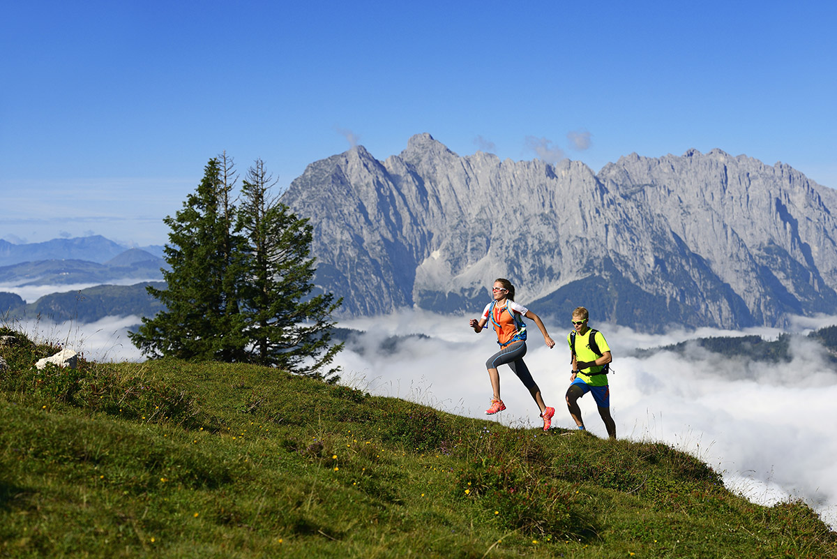
An officially certified snow hole in winter – a colossal mountain arena for epic trail running in summer.
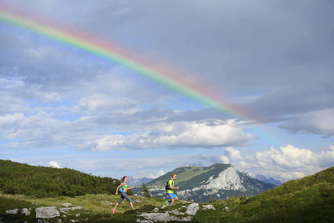
Early in the morning, the thick morning haze still clings to the fir tree tops. Extracts an intoxicating breeze that our lungs eagerly absorb. The trail climbs steeply up to the rustic Hindenburg hut. Your pulse is already racing, your temples are pounding in time with your steps. The sun gains strength and tears entire shreds out of the cotton wrap. Individual rays wander through the magical forest. Gravelly serpentines guide us through a beguiling fantasy film that tastes like a bag of cough drops. The first alpine pastures mark the tree line. Shortly before the Straubinger Hütte we open the gate to the steel blue sky. The crack of the sun hits us head-on, the last remnants of fog evaporate as if in fast motion. Marsh marigolds, cobbler’s nails and gentians flash like small light bulbs in the backlight. We take the last steps to the terrace exactly on the Bavarian-Tyrolean border. The view of the summit tempts you to indulge. The bold cutting edge of the Großvenediger shines above the numerous barns. The completely assembled, still deeply snow-covered Zillertal Alps shine like freshly bleached Hollywood beauties. The Kitzbühler Horn rises in front of it. The vertical rock faces of the Wildes Kaiser press in. In contrast, the gentle, green Chiemgau Alps seem almost tame. Wow, what a start.
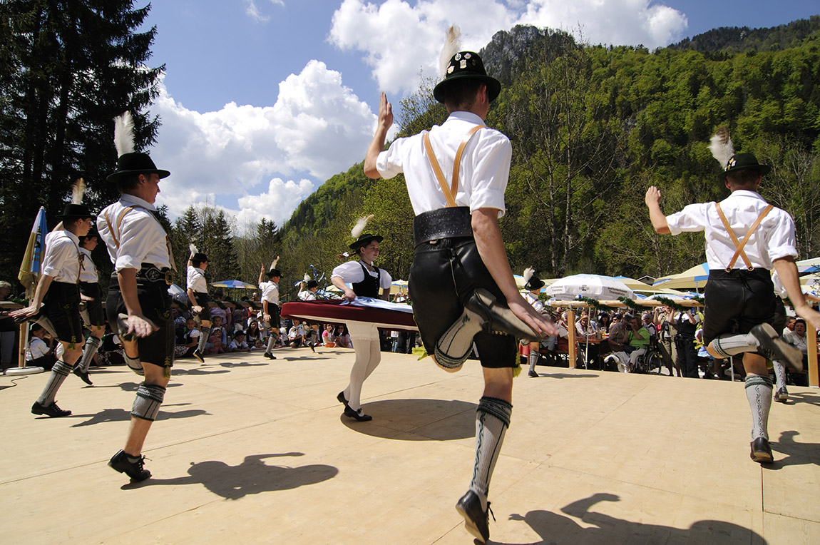
But let’s turn back the wheel of time for a moment: it cost a whole 10 German marks or 70 Austrian shillings to take part in the Reit im Winkler three-country high-altitude hike in 1970. Under the patronage of the then mayor Hagl of Reit im Winkl, you could choose between three routes 18, 29 or 35 kilometres and up to 2,500 metres in altitude can be selected. Alpine clubs, fire departments, mountain rescue services and medical crews from the border triangle of Bavaria, Tyrol and Salzburg jointly organized and looked after the fabulous route. The starting signal sounded in the nearby Seegatterl and strung together top trails, beguiling panoramic peaks and monumental mountain trails like pearls on a chain. Dürrnbachhorn, Winklmoosalm, Steinplatte, Fellhorn – the hikers and runners had to complete an alpine summit program. And even though the three-country tour was held for the last time in 2006, it provides us trail runners with a tailor-made template. The perfect blueprint and inspiration, so to speak, for a week of running with howling calves and an almost inflationary panorama factor.
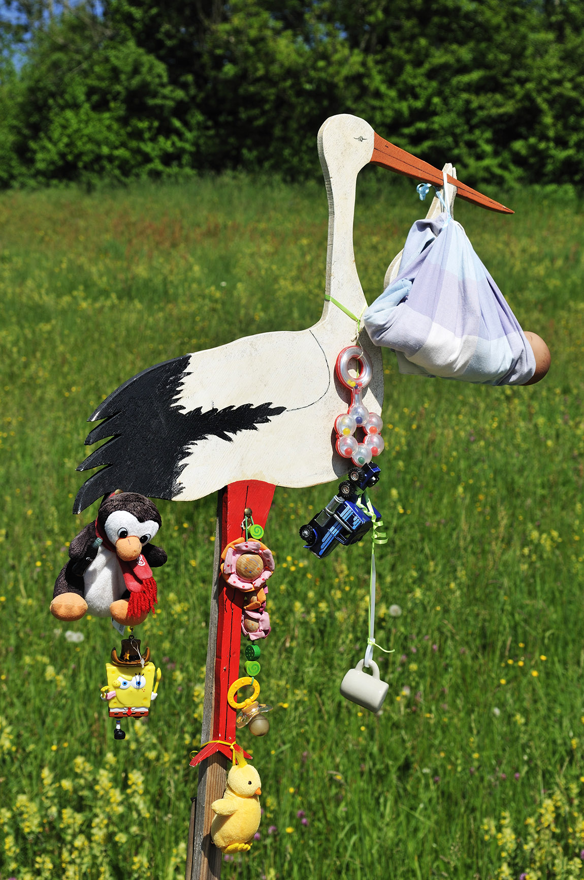
Reit im Winkl is actually considered an officially certified snow hole. As the saying goes in meteorological jargon, “the phenomenon of cold air lakes” causes increased snowfall. And indeed. The Maserer Pass often forms the border in winter. Green dominates on this side. Beyond the microclimate of Bavarian Siberia, winter sports enthusiasts have to put on snow chains for the last 10 kilometres and there is often a powder alarm. Since Rosi Mittermaier won a lot of precious metal at the Olympics in Innsbruck in 1976, the Winklmoosalm and Reit im Winkl have been a household name in winter sports. But where skiers click their tongues because of the many black slopes in winter, trail runners will of course also find plenty of first-class trails in summer. The routes wind their way around the town centre over more than 1,000 metres in altitude to the peaks of the Dreiländer-Höhenweg. Wind over the Heutal to behind the Sonntagshorn, the highest mountain in the Chiemgau Alps. Many loops take a detour to the Kaiserwinkl on Tyrolean territory.
We sip an apple spritzer and almost have to force our way away… – because at the Straubinger Hütte the terrace slobber quickly gets the better of you. The locals call our afternoon programme ‘Om ummi’. That section of the Dreiländer-Höhenweg that leads to Steinplatte. ‘Om ummi’ is neither Latin nor Japanese, but a Chiemgau dialect and simply means ‘on top’ in standard German. The rock interspersed alpine meadow trail zigzags uphill downhill. Leads through mountain pine fields between 1,400 and 1,600 metres above sea level. In between, Almrausch flowers in rich magenta and violet-blue gentians provide a magnificent splash of colour. The last 400 extremely steep meters to the summit of the 1,869 metre high Steinplatte are extremely tough.
The mix of standardized gravel and asphalt sets our thighs on fire. But the effort is worth it. The nearby Loferer Steinberge in Salzburg territory, freshly covered in fresh snow, look as monumental as the Rocky Mountains. We deliberately walk in wide bends down to the Winklmoosalm. This is the only way we can reach the 1,776-metre high Dürrnbachhorn with the last grains. Our thighs gasp alarmingly on the narrow trail, especially when we have to jump up the many rocky steps. The 600 meters of altitude gave us the rest, but the 360-degree panorama more than compensated for it. The deep view of the lake trilogy of Weitsee, Mittersee and Lödensee, which sparkle like emeralds from the valley, gives you goosebumps. The panoramic view of the Berchtesgaden Alps, especially the top dogs Watzmann and Hochkalter, increases our happiness at the summit. We high-five briefly and just nod silently. Back at the Winklmoosalm we take the shuttle bus back to Reit im Winkl. Enough for today.
After this big bang, we’ll take the second step a little more leisurely and take on the Three Lakes circuit. We walk northwards over extensive, green ridges and mountain ridges. For now, you can only see the beaches of the Bavarian Riviera from above. On the way back to the south bank of the Weitsee there is no stopping. We kick our running slippers across the beach and throw ourselves into the water – running and swimming in such a postcard idyll complement each other wonderfully.
Our last tour starts directly behind the Saint Pankratius Church. A sandy trail, repeatedly interspersed with steps, leads uphill opposite the Hausbachfallsteig, the first TÜV-certified via ferrata in Germany. To the right of the waterfall, mountaineers hang on the ropes and struggle over the bulbous rock bulge on ladders and steps. To the left, our soles crunch over small pebbles. The exemplary signposted path through the shady mixed forest leads us to the 1061 meter high Wetterkreuz summit. We continue trotting along the Alpin Chiemseeblick premium hiking trail. After just a few turns of the road it becomes clear what premium means. The beautiful trail loops do not saw through the panorama, but rather reveal it very carefully. The majestic landscape feels not conquered, but flattered. He has earned the golden crown on the signposts. The predicate may sound awkward, but that’s apparently how it has to be with titles of nobility.
“It was anything but easy,” says Florian Weindl, head of the tourism office in Reit im Winkl. The German Hiking Institute, which is responsible for the certification of the 12.4 kilometer loop, requires an extensive catalog of criteria to be met. It records the strengths and weaknesses of the hiking trails as objectively as possible. This is done not least so that hiking enthusiasts can find routes that suit their preferences as easily as possible. “The path format, the user-friendly signage, the landscape, rustic inns, culturally interesting things and possible noise emissions – everything is put to the test,” says Mr. Weindl.
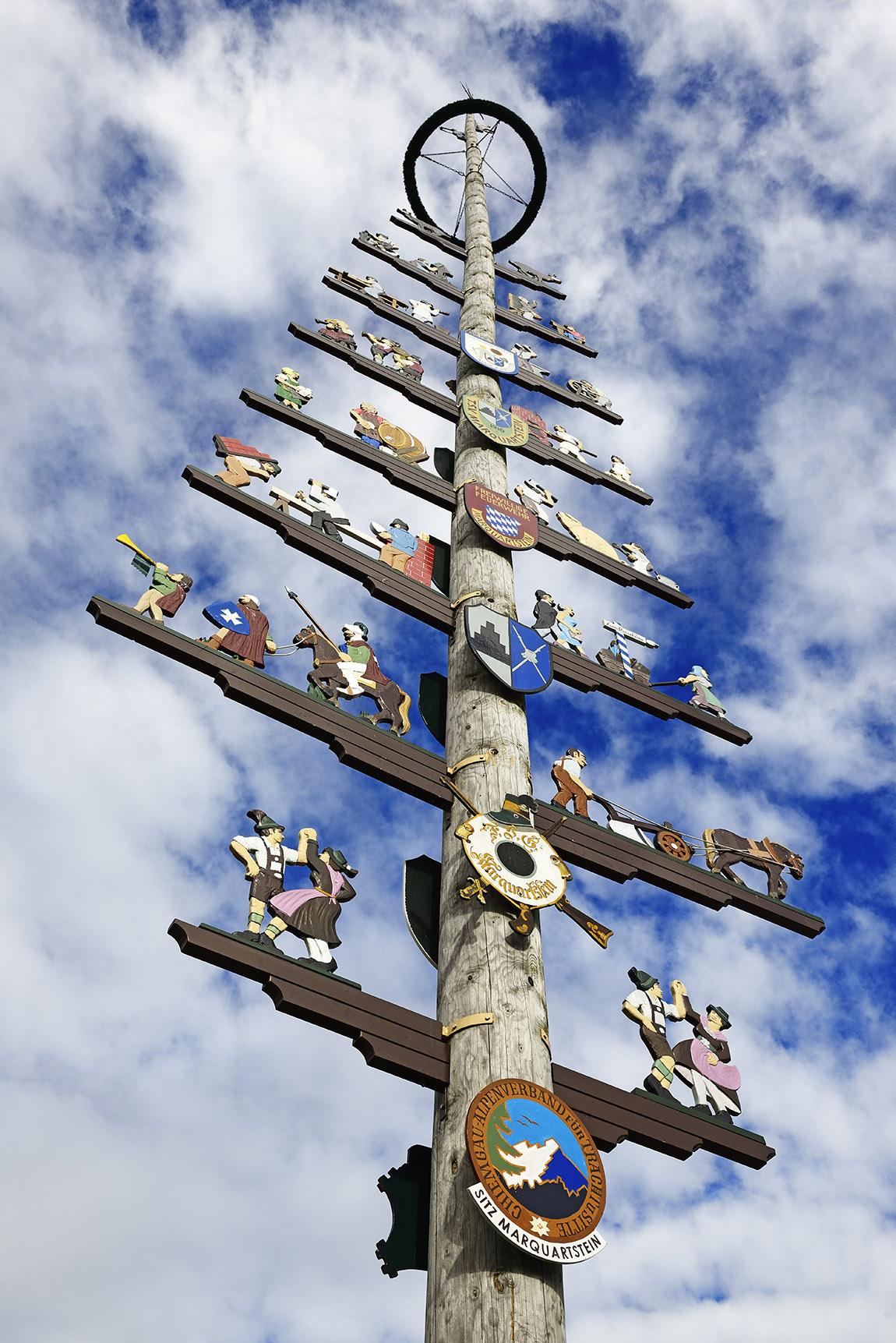
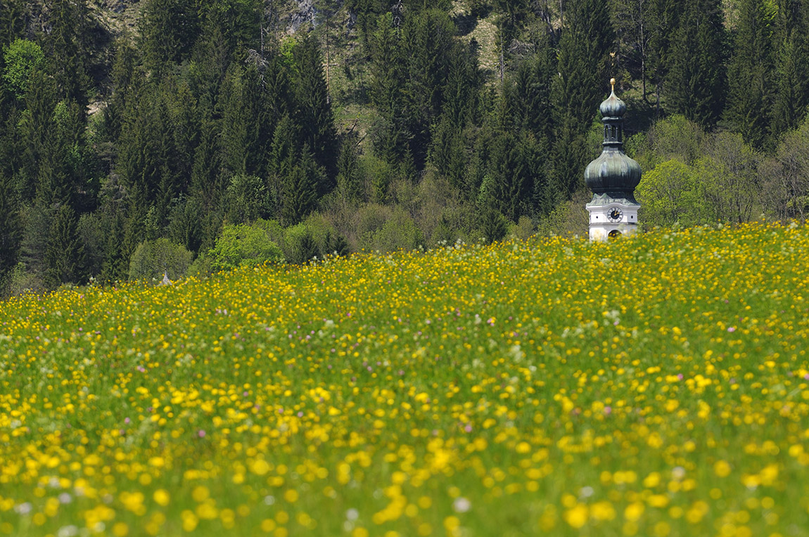
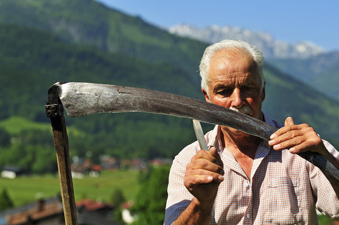
We think Premium is great. We walk almost 950 meters above the wildly romantic Hutzenalm and the beautifully situated Stoibenmöseralm through an opulent, almost kitschy local film. Cows stand like statues on the steep slope. Only their jaws move as they meditatively chew the flower-strewn meadow. An alpine farmer sharpens his scythe and mows the steep stream bank by hand. In the background, the spikes of the Wilder Kaiser sparkle golden. Down in the village, fiery red geraniums shine in the flower boxes. The guild symbols on the maypole are cleverly backgrounded by fluffy clouds. Truly, such a white and blue overdose releases a lot of happiness hormones – even if your thighs burn badly after three days.
Tip for runners:
The Mountainman is currently taking place on October 4th - 5th, 2024. There are five routes to choose from with a maximum of up to 73 kilometres and 3,245 demanding metres in altitude.
www.mountainman.de/trailrunning-events/alps/reit-im-winkl
Subscribe to Our Newsletter
Receive our monthly newsletter by email

